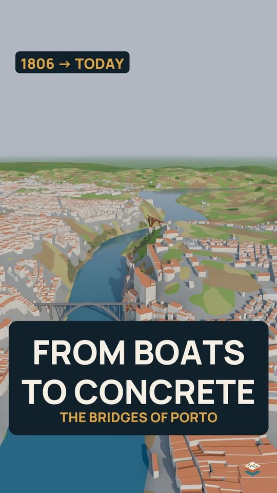
City in Layers
Portugal · 7:35 · English, Português, Norsk

Porto: 3,000 Years in 7 Minutes

How did Porto become the city we know today? From an Iron Age hillfort on a granite hill above the Douro to a UNESCO World Heritage city: the Roman river port of Portus Cale, the bishop's medieval town, the Fernandine wall, the wine trade, the iron bridges and the modern city.

The video loads from YouTube when you press play. Choose the audio language (English, Português, Norsk) in the player's settings.
Layers

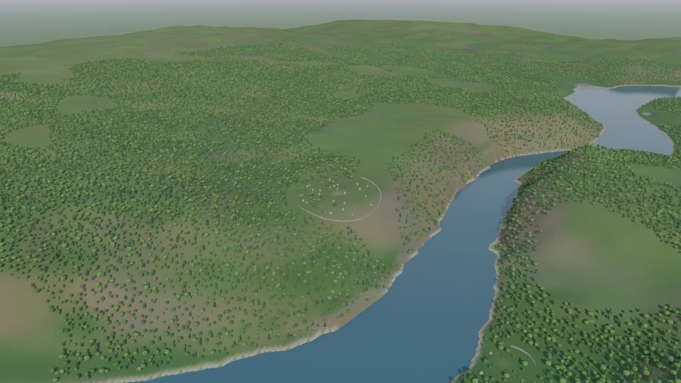
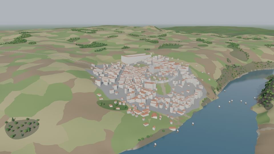
One hill, four moments

Wooded hills above the Douro before the city
Before the cityIron Age
The medieval walled town on the hill above the river
The walled town14th century
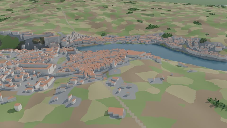
Porto spreading along the river in the 18th century
The wine city18th century
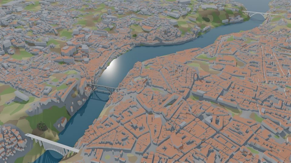
Modern Porto on both banks of the Douro
Porto today21st century

Chapters

  1. Before the city
  2. Iron Age: the Pena Ventosa hillfort
  3. Roman era: Cale and Portus Cale
  4. Suevi and Visigoths
  5. 868: Vímara Peres
  6. 1120: the bishop's borough
  7. The Fernandine wall
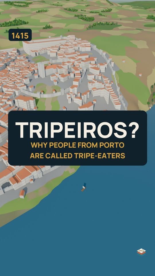
  8. 1415: the Ceuta fleet
  9. The wine city (18th century)
  10. Sieges and iron bridges
  11. The modern city
  12. Porto today

About this reconstruction

3D reconstruction built on real terrain and map data. Buildings, walls and landscapes before the modern era are approximate reconstructions; the ages of individual modern buildings are estimated from the city's historical growth, not surveyed one by one.

Where the record is incomplete or disputed, the film says so.

Sources & data

  • UNESCO World Heritage Centre: Historic Centre of Oporto, Luiz I Bridge and Monastery of Serra do Pilar (inscribed 1996).
  • Elevation: Terrain Tiles (Mapzen, AWS Open Data), including SRTM (NASA), GMTED2010 (USGS), EU-DEM (Copernicus).
  • Map data © OpenStreetMap contributors (ODbL).
  • Narration: AI voice (ElevenLabs). Music: original score made with Suno. Rendered in Blender.
Shorts

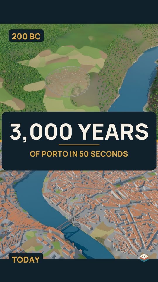
Porto in under a minute